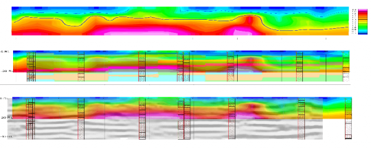
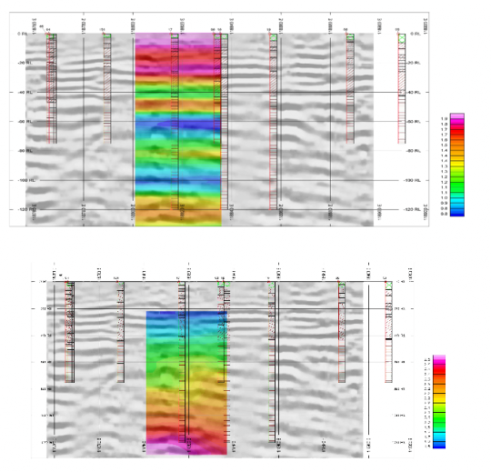
Field works. Example 8.
Joint interpretation of seismotomography and common-depth point (CDP)
Geological model presented by bedrock Kotlin horizon clay of Vendian Period overlapped by high quaternary deposits of different composition. During investigation were execute works by land seismic survey of refracted and reflected waves. It was used 24-fold shooting geometry. After CDP and seismotomography data processing, results were presented as geoseismic models.
In most cases, gradient zones of velocity to coincide with reflector. Result of building and subsurface utility engineering is prolapsed bedding, which described by no event picking in some spots. Tomography interpretation of refracted waves allows to get velocity model of near-surface section. Interpretation of reflected waves (CDP) allows to ascertain reflector deep. Geoseismic models are represented by layer structure. Seismic horizon at a depth 45 m related to geologic boundary of quaternary deposits and bedrock clay. Into quaternary deposits detected some reflectors correspond different grain sizes, also were allocated some faulting. Complex geological model evidenced by cross-borehole seismotomography and electrotomography sounding.
Integration of seismotomography and CDP fullest investigated the engineering-geological model to a depth of 150 m.

