ZondTEM1D
ZondTEM1D software is designed for one-dimensional multi-stations interpretation(resistivity, IP and magnetic permeability) of Transient ElectroMagnetic(TEM) and frequency sounding for various observation systems [Line/Loop, Loop/Loop, Loop/Line, Line/Line ) ground and airborne. Comfortable interface and wide possibilities of data presentation allow to solve given geological problem with maximum effectiveness. While developing software special attention was payed to comfort and simplicity of its use, variety of visualization features and account of a priori data.
TEM sounding – the methods of time domain electroprospecting based on studying of field attenuation of vortical currents (transients) arising in electroconducting section at sharp curent off. The primary field is generated by transmission of rectangular impulses passing in not grounded loop or grounded line. At current off in the source, measured voltage in receiver not instantly fall to zero but decreases gradually. It is connected to, that at the moment of current off in conducting areas the secondary currents are induced. At the first moment of time it concentrated in near surface areas and then flow to more deep layers, fading with distance from the source. A physical basis of impulse electroprospecting application is contrast of electric conductivity and polarizability of rocks and ores in natural stratification. Depth of penetration of the non-stationary electromagnetic field in the earth is defined by time. Transients are studied at the moment of current off by induction receivers, usually loops or small multicoil receivers.
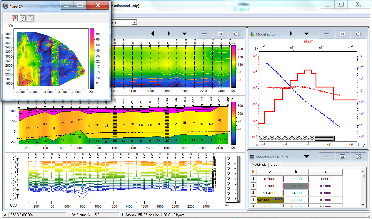
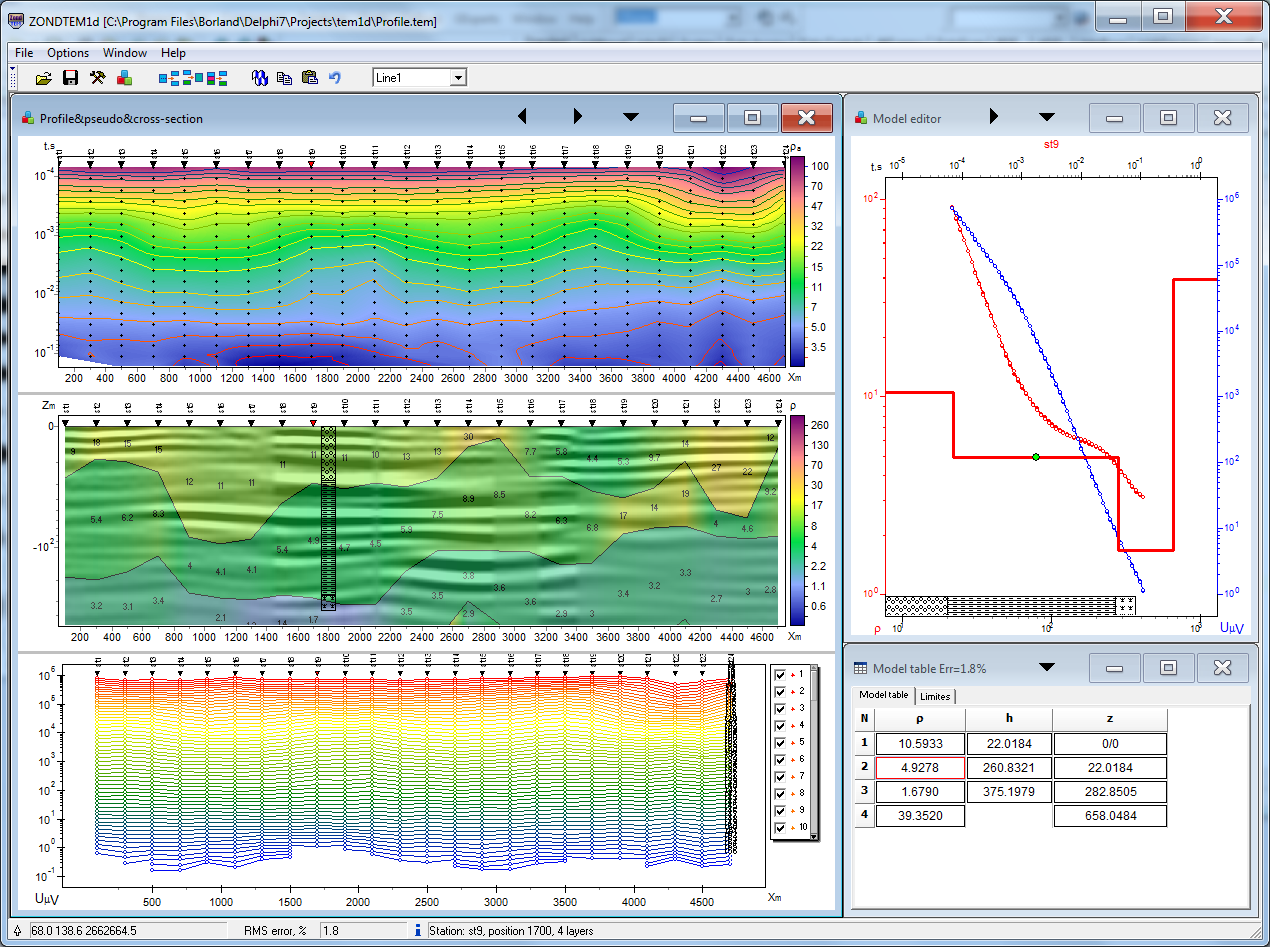
Depending on the interpreter’s choice, software gives different variants of data interpretation algorithms. Comfortable control system allows to choose from the great number of equivalents results that will appear to be the best in geophysical and geological point of view. Conception of multi-station interpretation is basis of the ZondTEM1D software. Consequently, profile line data is considered as a reflection of geological section. It’s mean that multi-station data of profile line is whole, and not set of separated curves. Special windowed algorithms developed for interpretation of profile line data are provided in the software. But most software features can be used also during work with the separated points of TEM. Also You can use areal XY survey with arbitrary lines orientation in multi-line mode.
ZondTEM1D allows to work with any types of TEM acquisition systems or their combinations. The program supports as traditional systems(coincident loops, in loop, fixed loops, line-loop, loop-line, line-line), and the most exotic with arbitrary orientation. The geometry of sources and receivers can be various on the plane. Electromagnetic fields and/or their time’s derivatives can be used. Data in most popular formats , such as IX1D(TEM, USF), TEM-FAST, Amira, Geonics, Emma software, ERA or Podbor can be loaded into the software. As the basic task of the program is inversion of geoelectric section parameters – few variants of inverse problem are designed in ZondTEM1D, basic of them are: smoothed inversion – to get smooth, and focusing – to get the piece-smooth distributing of geoelectric parameters vs depth. Because of equivalence of inverse geophysical problems, quality of the obtained results strongly depends on the amount of used a priori data. In ZondTEM1d there is possibility of weight setting(Error gates) for measurements, fixing and limiting of different layers parameters, using of a priori model as reference in inversion. If the values of some section parameters are known exactly (a priori or on interpretation results), their fixing is possible before the beginning of automatic interpretation. The fixed parameters do not change during the process of inversion. Fixing of parameters is the method for hard regularization of inversion process. The robust schemas of noise estimation are realized in the program.
Basic features:
- Support any kind of configurations or them combinations. Multi source and multi receiver stations.
- Airborne, land and water measurements.
- Time and frequency domain.
- Cole-cole model for induced polarization, magnetic permeability.
- Multi profile interface.
- Buffer for 5 models.
- Denoising and editing procedures.
- Arbitrary pulse shape, taking account of any pulses number.
- Several of the resistivity and IP inversion algorithms : smooth, focusing, robust, block. Setting the reference model for the inversion. Suppressing of the noise component during inversion (robust reweigthing). Special procedures for profile inversion.
- Setting of limits for models parameters, introducion of a priori geological boundaries and borehole data to inversion. Assignment of weights for datum records.
- Different tools for statistical results analysis.
- Number of variants for data, model and apriori information visualization(section or plane). Ability to set a semi transparent background for the resistivity section or map(geological, seismic sections).
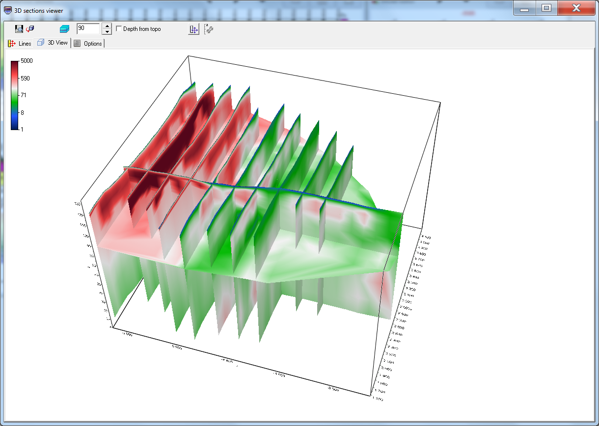
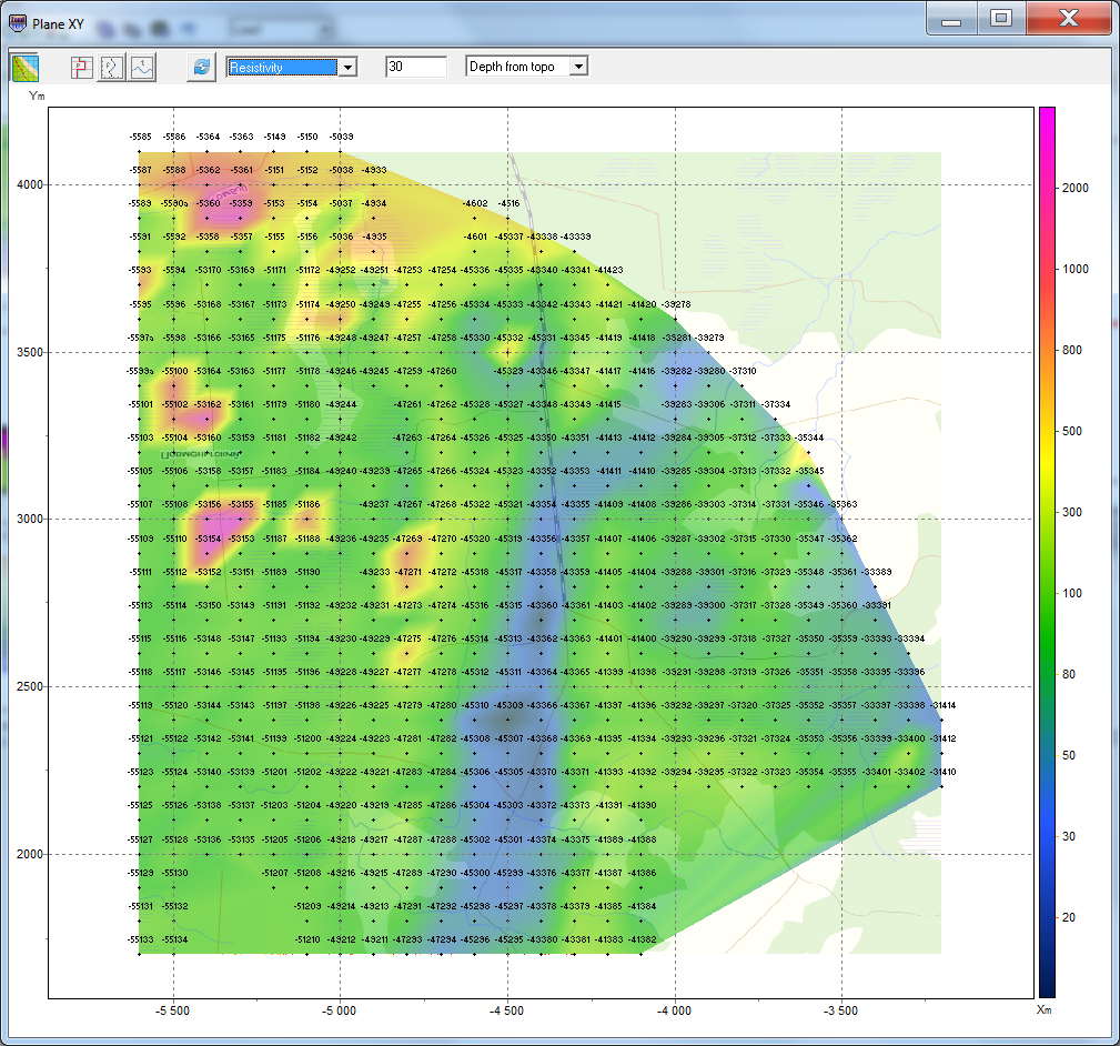
- Three-dimensional visualization of the sections along arbitrary system profiles. Maps slices of parameters for various depths.
- Geological sections editor and borehole columns editor. Titled boreholes.
- Joint inversion with magnetotelluric and VES data.
- Exporting to bitmap and vector graphics formats, excel, surfer, AUTOCAD. Setting the scale of the exported image. Print images and create reports.
| Software: download | Video lesson: download